Intertidal Ecology | Coastal Development | Seagrass monitoring | Coastal Bird Surveys
Overview
Coastal infrastructure development presents unique challenges that demand specialist survey expertise extending well beyond the terrestrial environment. This case study showcases Sangan Island Conservation’s capacity to deliver comprehensive, multi-disciplinary ecological baseline assessments across the full intertidal and near-shore marine range, combining botanical condition surveys, coastal bird count methodology, spatial analysis, and statistical modelling into a single, cohesive study.
The Project
Following approval of a coastal drainage infrastructure scheme, our team was commissioned to undertake pre-construction baseline surveys to characterise ecological conditions within the zone of potential influence. The proposed works involved the construction of a new surface water outfall discharging into an intertidal seagrass habitat and an internationally important overwintering bird population.
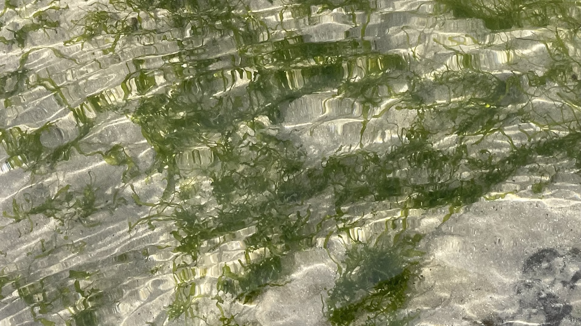
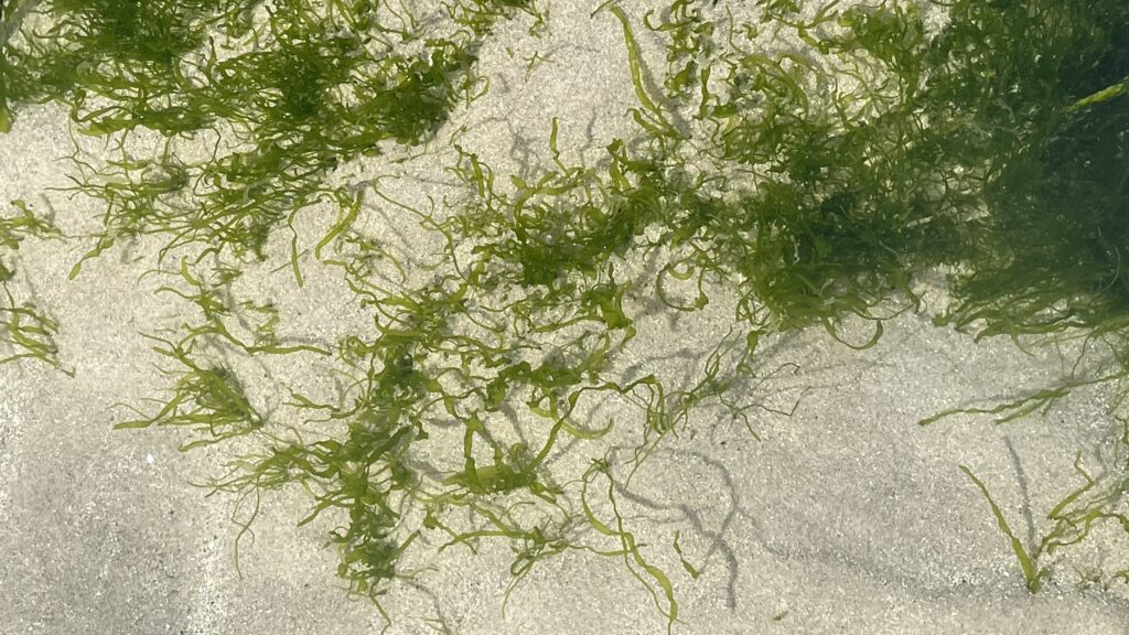
Our scope covered two interconnected ecological receptors: the condition of the intertidal dwarf seagrass (Zostera noltii) meadow within the zone of influence, and the occupancy and behavioural patterns of overwintering Brent geese (Branta bernicla) across the wider bay system.
Why does this matter?
Seagrass beds are a priority habitat, functioning as carbon sinks, nursery habitats for marine species, and critical foraging resource for wintering bird populations. Dwarf seagrass, is locally rare and intertidal in nature, making it both ecologically sensitive and logistically challenging to survey. Overlying this, Brent geese are a migratory species of conservation concern, with certain subspecies carrying elevated protection statuses. Any development in proximity to habitats supporting both receptors requires robust, evidence-based baseline data to inform impact assessment and future post-construction monitoring.
What we did
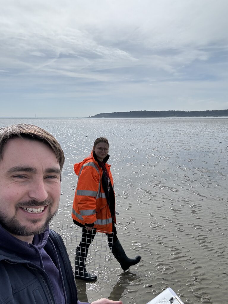
Dwarf Seagrass Condition Surveys
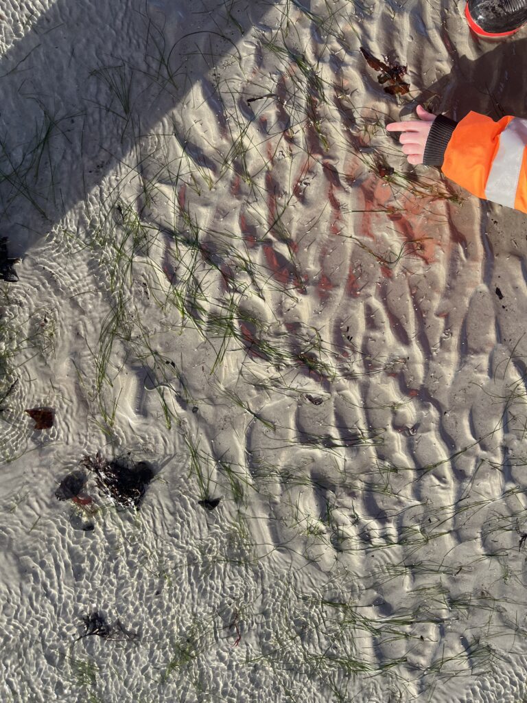
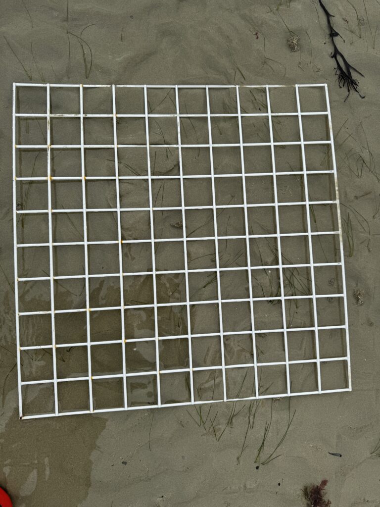
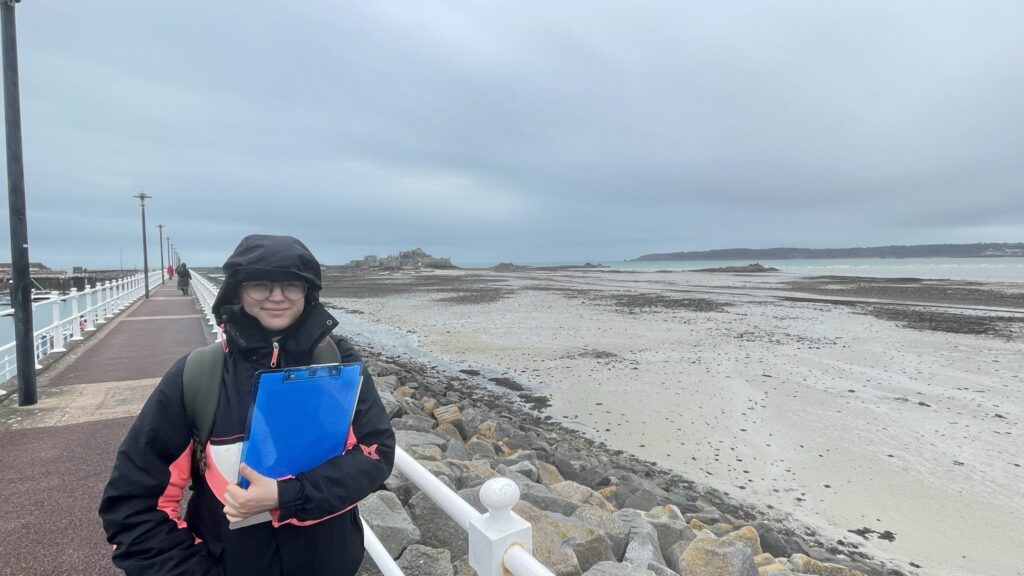
Working around tide windows with low water heights below 2.5m, our ecologists undertook repeat randomised quadrat surveys at the start and end of the Brent goose wintering season (in December and repeated in April) to capture seasonal change in seagrass condition coinciding with peak Brent geese occupancy. Thirty-six quadrat locations were randomly generated in GIS and located in the field using a GPS. At each quadrat, we recorded various measurements and whether there was evidence of grazing. Statistical comparisons between the two survey rounds using paired t-tests allowed us to identify which condition metrics showed significant seasonal change and which remained stable.
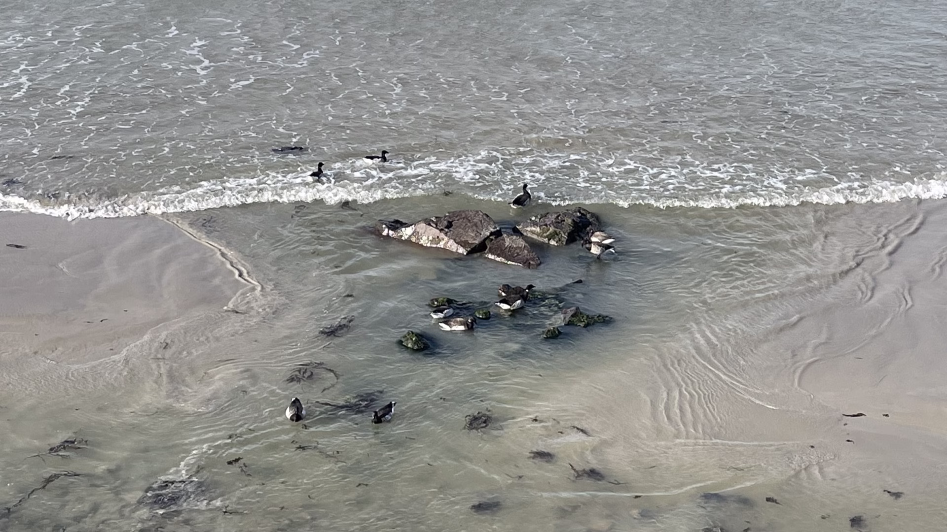
Brent Goose Count Surveys
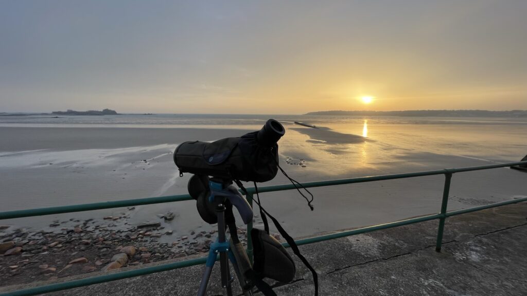
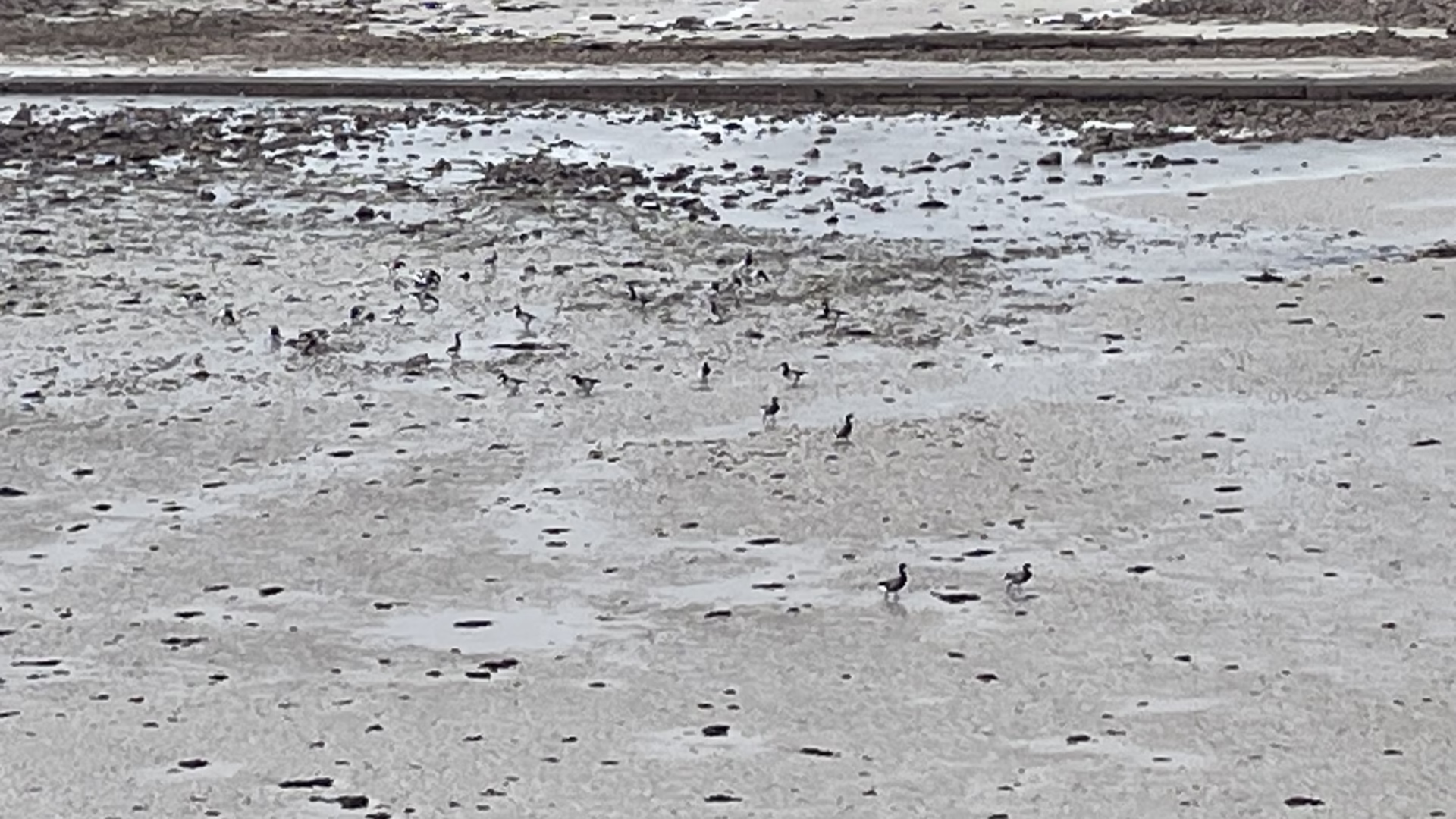
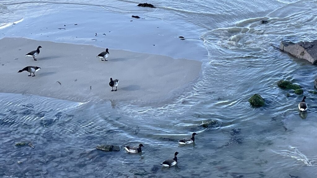
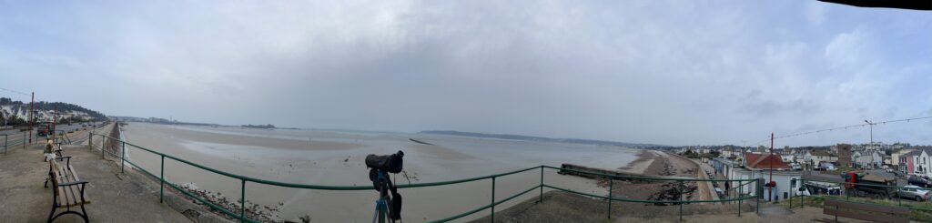
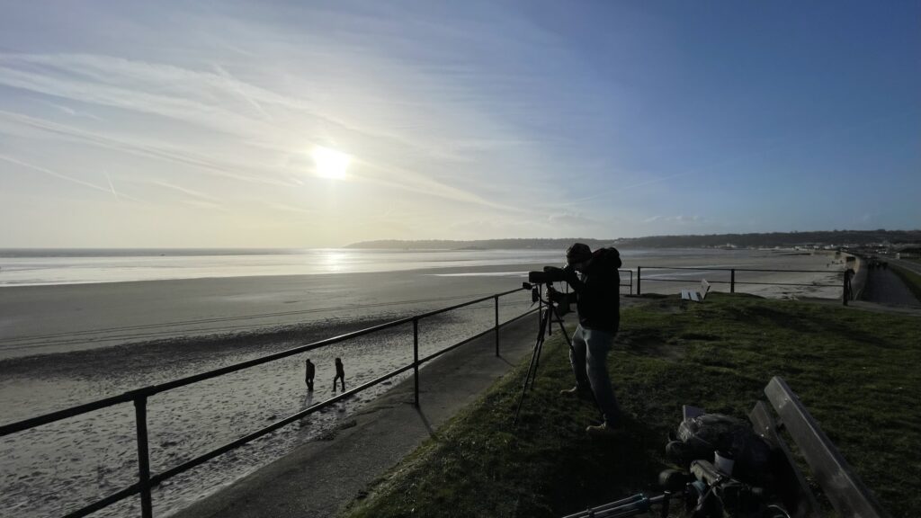
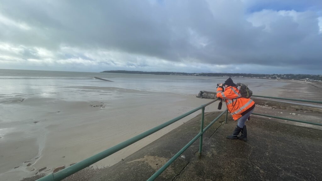
Count surveys were conducted across the full bay from late November to May, following an adapted BTO WeBS Low Tide count and Solent Waders and Brent Goose Strategy (SWBGS) methodology. The bay was divided into three discrete sections – encompassing the zone of direct impact, a degraded central zone, and an unimpacted western zone – enabling comparison of occupancy patterns across habitats of differing quality. Three surveys per month were carried out at low tide during daylight hours, with counts taken at 15-minute intervals across a four-hour window spanning two hours either side of low water. Environmental variables were recorded at every count point. Over the full survey season, this generated a substantial dataset of 17 survey sessions.
Analysis
All spatial data was managed in QGIS and all statistical analysis undertaken in RStudio. Linear regression modelling identified significant predictors of Brent goose count variation, including tide height and wind force, while occupancy density per hectare was calculated for each bay section to allow meaningful comparison across areas of differing size.
Key Findings
The seagrass condition surveys identified statistically significant declines in both blade height and number of growth clumps between December and April, with evidence of grazing damage observed at the April survey. Percentage ground cover showed no significant change across the same period, suggesting that while individual plant biomass had declined, the spatial footprint of the meadow was largely maintained through the winter season.
Brent goose counts peaked in November across all three sections of the bay before declining sharply into December, with a secondary uptick in March and complete departure by May. Absolute numbers were consistently highest in the western section of the bay, though density per hectare was greatest in the eastern section — the area directly within the zone of influence — highlighting the ecological significance of this habitat to the local wintering population. Wind force and low water tide height were identified as significant predictors of goose count, with higher counts associated with windier conditions and lower tide heights, the latter logically reflecting greater exposure of intertidal foraging habitat.
Our Capability
This project is a strong example of the breadth of ecological survey work Sangan Island Conservation can deliver. Our team is experienced and confident operating across the full spectrum of coastal habitats — from terrestrial and woodland environments through to the upper, mid, and lower intertidal zone and into the near-shore marine environment. Our capabilities in this space include:
- Intertidal habitat condition assessments, including seagrass and other marine macrophyte surveys
- Coastal bird low tide count surveys following established national methodologies (BTO WeBS, SWBGS)
- GIS-based spatial analysis and survey design
- Statistical analysis and modelling in R
- Integration of ecological survey data with planning and legislative frameworks
- Pre-construction baseline studies and post-construction monitoring design
We bring the same rigour, methodology, and care to intertidal and coastal marine surveys as we do to our terrestrial ecological work, ensuring our clients receive evidence of the highest standard, whatever the environment.
Interested in coastal or intertidal ecological surveys? Get in touch with our team to discuss how we can support your project.